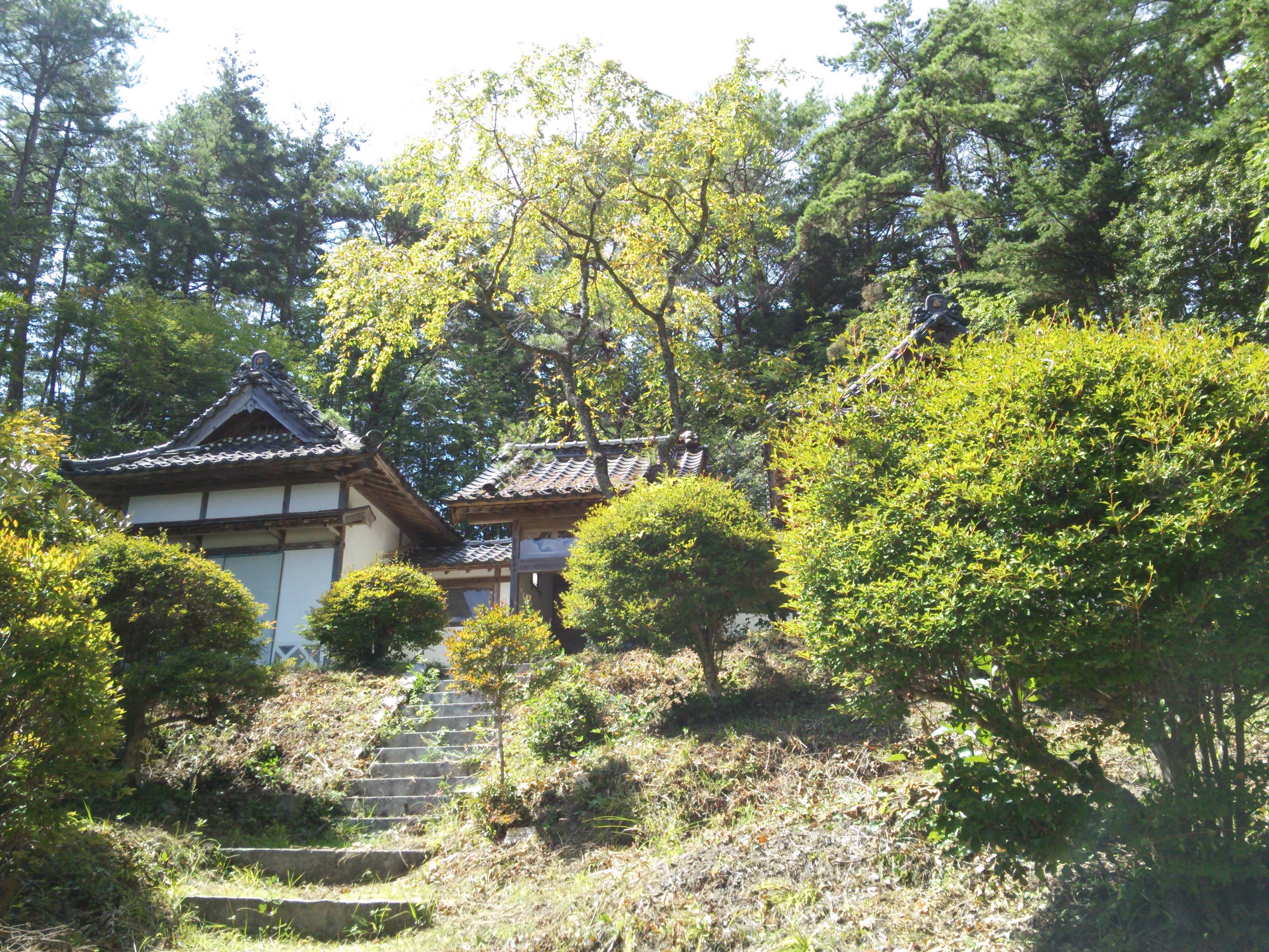
Designing for the Chubu Region’s Unique Topography
Architecture in the Chubu region begins with a demanding physical setting. Nagoya’s broad urban plain sits between major rivers, the Ise Bay coastline, and mountain systems that rise toward Gifu, Nagano, and the Japanese Alps. The region includes dense industrial cities, agricultural settlements, fishing communities, snowy inland areas, and places shaped by recurring earthquakes, floods, and landslides.
For architecture students, this geography offers more than a collection of constraints. It provides a framework for asking how buildings meet the ground, direct movement, manage water, support local economies, and adapt to changing communities. A successful graduation project often makes these relationships visible instead of treating the site as a blank surface.
NAGOYA Archi Fes gives these questions a public setting. Through student exhibitions, professional juries, and an accessible record of previous editions, the event creates a space where emerging architectural ideas can be compared across different sites and approaches. Its regional exhibition role also helps connect academic proposals with the wider architectural culture of Central Japan.
Reading the Landscape Before Drawing the Building
The Chubu region is geographically varied enough that a single design method cannot serve every location. The Nobi Plain encourages thinking about broad horizons, river systems, and large-scale urban infrastructure. In contrast, the Kiso Valley and mountain settlements require attention to steep slopes, limited building sites, forest management, snowfall, and narrow transportation routes. Coastal areas introduce salt exposure, storm surges, tidal changes, and industrial landscapes.
This variation makes site analysis especially important in student work. Topographic lines, drainage channels, old river courses, soil conditions, prevailing winds, and seasonal sunlight can reveal opportunities that a conventional map may hide. A project may discover that a vacant lot is part of a historic flood path, that a street follows an older embankment, or that a hillside’s most stable terrace can become a shared public space.
The strongest proposals translate this information into spatial decisions. Rather than adding a generic building to a location, they allow the terrain to determine entrances, floor levels, courtyards, structural systems, and views. The result is architecture that feels specific to its setting and can explain why it belongs there.
What Student Projects Reveal About Regional Identity
Graduation projects frequently test ideas that are difficult to pursue in commercial practice. Students may combine a community center with flood infrastructure, reinterpret a declining shopping street, or propose new uses for forestry buildings and vacant homes. These experiments are valuable because they expand the definition of regional design beyond traditional forms and familiar materials.
In the Chubu context, regional identity can emerge through relationships rather than visual motifs. A project does not need to imitate a historic machiya, a rural storehouse, or an industrial shed to feel local. It may express identity through a covered route that responds to heavy rain, a shared threshold suited to neighborhood life, or a structural rhythm derived from local timber dimensions.
Jury discussion can sharpen this distinction. Professional critics may ask whether a proposal genuinely responds to its site or simply uses regional imagery as decoration. They may also examine whether the design could be maintained by its intended users, whether its environmental strategy works across seasons, and whether its social ambitions are supported by a realistic program.
Past exhibitions and related commentary show how student work influences practice, especially when speculative ideas prompt firms to reconsider public space, material reuse, or community participation. The exchange works in both directions: students gain a sharper understanding of professional realities, while architects encounter fresh ways to frame regional problems.
Comparing Site Conditions and Design Responses
A useful way to study emerging proposals is to compare the physical condition of each site with the architectural response. The following framework can help students, jurors, and visitors identify whether a project is addressing the landscape at multiple scales.
| Regional condition | Design question | Possible architectural response | Quality to examine |
|---|---|---|---|
| Flood-prone plain or river edge | How can daily life continue during heavy rain? | Raised occupied floors, porous ground levels, retention gardens, adaptable public rooms | Safety integrated with ordinary use |
| Mountain slope or narrow valley | How can construction limit disturbance? | Terraced volumes, compact footprints, sectional circulation, local timber systems | Respect for terrain and buildability |
| Snowy inland settlement | How can access and daylight work in winter? | Covered paths, protected entrances, snow storage zones, carefully placed openings | Seasonal comfort and maintenance |
| Ise Bay or industrial waterfront | How can the project face exposure and ecological change? | Elevated structures, shaded outdoor areas, wetland edges, reversible components | Resilience without isolation |
| Shrinking rural community | How can a building support several generations of use? | Shared kitchens, flexible halls, housing conversions, repair workshops | Long-term social usefulness |
| Dense urban district | How can limited land produce collective value? | Vertical mixed-use spaces, small courtyards, permeable ground floors | Public benefit within a tight footprint |
This comparison also prevents resilience from becoming a purely technical term. A flood-resistant building that is empty for most of the year may offer less regional value than a modest structure that serves as a market, meeting place, and emergency refuge. Likewise, a highly insulated mountain building must still be easy to access, repair, and heat economically.
Students can strengthen their proposals by showing how one decision supports several goals at once. A raised floor may protect against flooding, create shaded outdoor space, and preserve a view across the plain. A planted drainage corridor may manage stormwater, improve biodiversity, and become a route connecting a school with a station. Integrated solutions make the project more convincing than a collection of separate environmental devices.
Water, Climate, and the Everyday Ground
Water is one of the clearest forces shaping architecture around Nagoya and the wider Chubu region. The Kiso, Nagara, and Ibi rivers have supported settlement and industry while also creating flood risk across low-lying areas. In urban districts, paved surfaces and intensive development can accelerate runoff. Along the coast, sea-level concerns and typhoons add another layer of uncertainty.
Student proposals can respond by treating water as part of the public realm rather than hiding it underground. Rain gardens, open channels, retention courtyards, stepped landscapes, and wetlands can make hydrological processes visible. These features need careful detailing, since stagnant water, mosquitoes, maintenance burdens, and conflicts with accessibility can undermine an otherwise attractive concept.
Climate-responsive design should also account for heat. Nagoya’s summers are hot and humid, so shade, cross-ventilation, planted areas, cool materials, and sheltered circulation are important to comfort. A narrow building oriented toward prevailing breezes may perform better than a sealed glass volume, while arcades and deep eaves can support outdoor activity during both summer rain and intense sunlight.
The best work connects emergency planning with ordinary routines. A community facility may store supplies, provide backup power, and accommodate temporary evacuation while operating daily as a library or workshop. Designing these dual roles requires attention to storage, access, sanitation, and management, yet it can produce architecture that remains useful long after a disaster scenario has passed.
Working With Materials, Memory, and Local Economies
Topography is experienced through material as well as form. Timber from mountain regions, fired products from manufacturing towns, recycled aggregates, and locally available stone can connect a proposal to regional production. Material selection becomes more meaningful when it reflects a supply chain, craft tradition, or maintenance capacity rather than simply adding a local finish to a conventional structure.
For students, this offers an opportunity to study the distance between resource and building. Where does the timber come from? Who processes it? Can damaged components be replaced locally? Does a proposal depend on specialist labor that is unavailable in the community? These questions bring economic geography into architectural design and can reveal whether a material strategy is genuinely sustainable.
Reuse is particularly relevant in settlements with vacant houses, aging public buildings, and declining commercial areas. Converting an existing structure can preserve embodied energy and local memory, but adaptation should not be romanticized. Older buildings may have poor seismic performance, inadequate insulation, difficult circulation, or hidden repair costs. A persuasive project identifies these limitations and uses them to shape a realistic transformation.
Memory can also be handled through movement and occupation. Retaining a wall, an irrigation route, a factory crane, or a line of roadside trees may help residents recognize continuity. Yet architecture should leave room for new users and future changes. Student work is strongest when it respects what already exists without freezing a neighborhood into a museum of its past.
Designing Across Different Scales of Community
A regional architecture project must connect the scale of the individual body with that of the landscape. A handrail, shaded bench, or sheltered entrance affects daily comfort, while a new pedestrian network or water-management system may influence an entire district. Projects presented at student exhibitions can demonstrate this connection through drawings that move between detail, building, neighborhood, and watershed.
Community participation can make those scales more credible. Interviews with residents, mapping workshops, seasonal observations, and conversations with local tradespeople can reveal patterns that are absent from official data. A fishing community may need flexible storage more than a formal plaza; an aging mountain settlement may value accessible bathing or shared transport more than a landmark building.
Participation should inform design without forcing every decision into a consensus process. Students still need to interpret evidence, establish priorities, and make architectural choices. Their role is to turn many voices and environmental facts into a coherent proposal that can be discussed, challenged, and improved.
Professional review is useful because it tests whether a compelling idea can survive practical questions. How will the building be funded? Who opens and closes it? What happens when the population changes? Can the structure be repaired after a severe storm or earthquake? These questions do not diminish imagination; they give it a path toward public value.
Principles for Stronger Regional Proposals
Projects addressing Chubu’s varied terrain become clearer when students move beyond a general statement about sustainability or community. A precise site argument should explain the forces shaping the proposal and show how architectural form follows from them. The following principles offer a practical way to develop and assess that argument:
- Map seasonal conditions, including flooding, snow, heat, wind, shade, and changing patterns of public activity.
- Treat the ground as an active system of soil, water, infrastructure, ecology, and memory rather than as a flat construction platform.
- Design adaptable spaces that can support everyday programs, community events, and emergency use without becoming inefficient.
- Select materials through local availability, embodied energy, repair skills, and long-term maintenance.
- Present several scales of impact, from tactile details and thresholds to streets, watersheds, and regional networks.
These principles can guide both the design process and the final presentation. Clear sections may communicate topographic relationships better than polished perspective images, while diagrams can show how people, water, materials, and energy move through a proposal. A well-organized exhibition board should make the site’s character legible before asking viewers to admire the building.
For visitors, comparing projects through these questions creates a richer experience of a graduation exhibition. It becomes possible to see how different students interpret the same regional pressures and why one response may be more convincing than another. The value lies in the range of ideas: compact urban interventions, rural renovation, ecological infrastructure, and new public buildings can all contribute to a broader conversation about Central Japan.
Explore the projects, follow the discussion, and use the lessons of NAGOYA Archi Fes to develop architecture that begins with the terrain and serves the people who inhabit it. Students can use the exhibition as a testing ground for ambitious proposals, while professionals, educators, and residents can help carry the most useful ideas into future regional practice.